Natural Bridges National Monument to Mexican Hat, UT; Part 2 of Day 5:
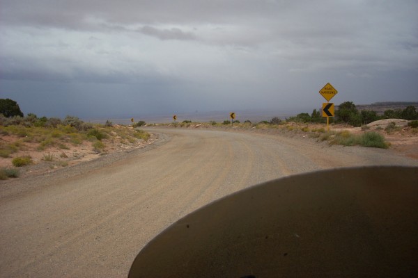
I rode back to the Junction of UT HWYs 95 and 261, just a few miles. Heading south on 261 I saw a lot of signs warning of steep grades, narrow roads, gravel, and tight curves. Oh Boy! 23 miles down the road I came to Mulie Point. What had been a gentle up and down of the road…ended…in an 1,100 foot cliff!
(Nikon Coolpix L11)
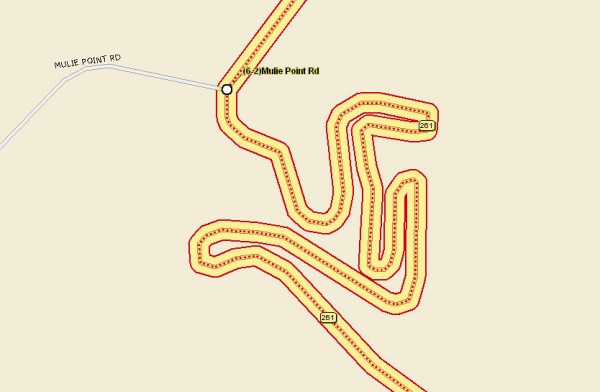
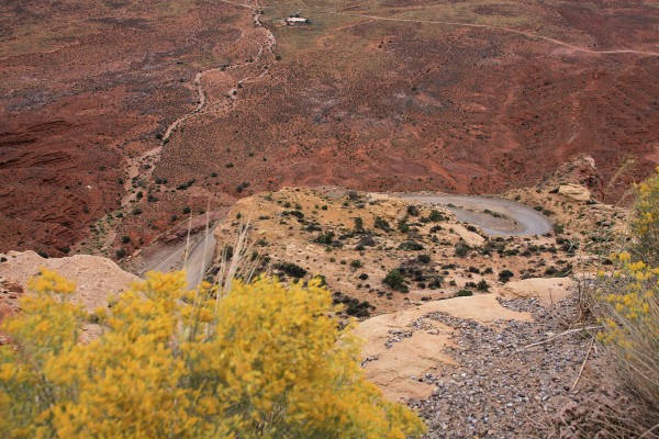
It was a nice little squiggle of a road they carved down the cliff!
(from Street Atlas 2008)
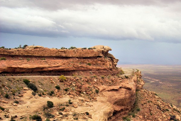
And I do mean carved…
(Nikon Coolpix L11)
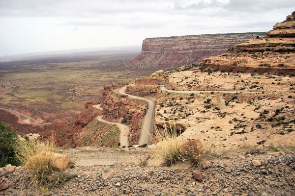
There are two motorcycles coming up in this photo…
(Nikon Coolpix L11)
Someone cheated…the corners were all paved. I never did find the pile of old trucks that didn’t make it down…
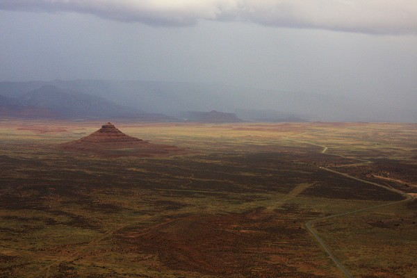
(Canon 40d, 1/250, f5.6, 28mm, ISO 250, -1/2 stop)
You can see Monument Valley in the distance, through the rain clouds.
(Six photos stitched together in MS ICE)
(Click to enlarge, BACK to return!)
A more normal view…
(1/350, f5.6, 53mm, ISO 250, -1/2 stop)
Another panorama!
(Three photos stitched together in MS ICE)
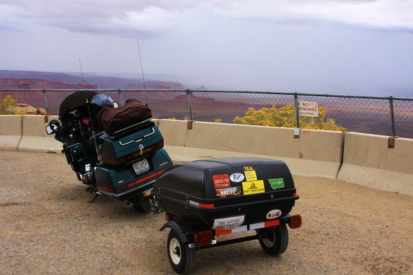
I had to get DejaT into one of these shots!
(1/250, f5.6, 28mm, ISO 250, -1/2 stop)
Once I got down the switchbacks I got this interesting view of Monument Valley. Some day I will go back, in the sunlight!
(1/350, f5.6, 38mm, ISO 250, cropped from one photo)
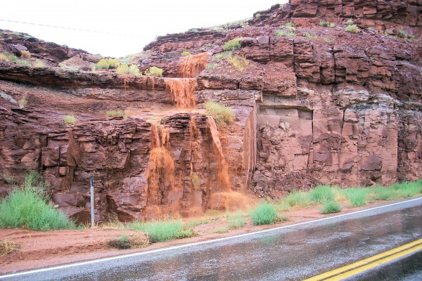
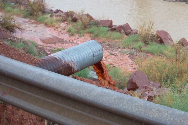
It was raining pretty good by now, the only real rain I had on the trip. This explains how Monument Valley and the Grand Canyon were formed.
(Nikon Coolpix L11)
And here is where it goes…and I thought Wibaux water was bad!!!
(Nikon Coolpix L11)
~Curtis in Utah! {!-{>



One Comment