Naturita to the Ophir Loop, Part 2 of Day 4 of my trip:
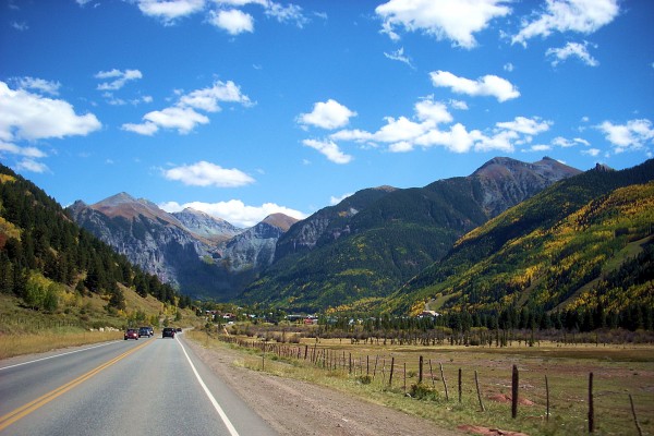
After Naturita I broke out into farm country, then on CO HWY 145 it was back up in the mountains, the changing colors, and Telluride, CO, at 8,750 feet above sea level.
(All photos Nikon Coolpix L11 unless otherwise noted)
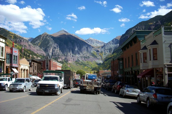
Downtown Telluride, heading East.
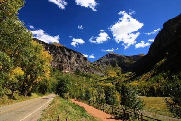
A nice view of the head of the canyon Telluride sits in.
(1/500, f8, 12mm, ISO 125, -1/2 stop)
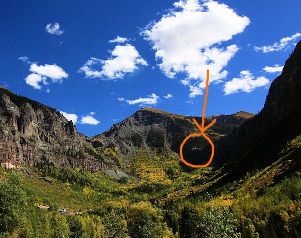
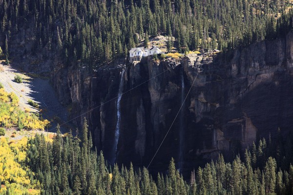
You can just see where I want to live. Here is a closeup, inside the red circle:
This is the Jacobson House on top of Bridal Veil Falls, 10, 279 feet above sea level. They use an aerial tram to get there…
(1/125, f8, 200mm, ISO 125, -1/2 stop)
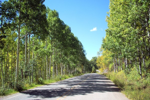
It was very pleasant motoring along through the green and gold leaves, even it I had to pant to breath…
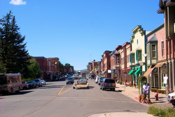
Telluride heading West. A nice little tourist town. It looked very pricey.
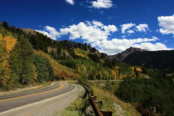
Heading up toward the Ophir Loop.
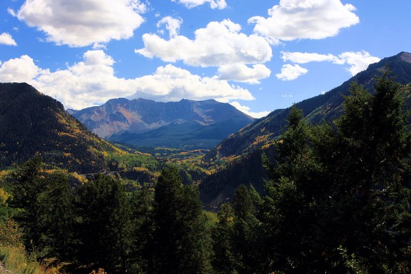
Ophir, a mining town, now pretty much deserted other than about 50 homes, is just over the rocks in the next valley.
(1/750, f8, 17mm, ISO 125, -1 stop)
This is to the right of the shot above. You can see where the Ophir Loop was; a great loop in the railroad tracks used to gain elevation. I think it was right where you can see the highway on the left side of center.
(1/90, f16, 30mm, ISO 125, -1/2 stop)
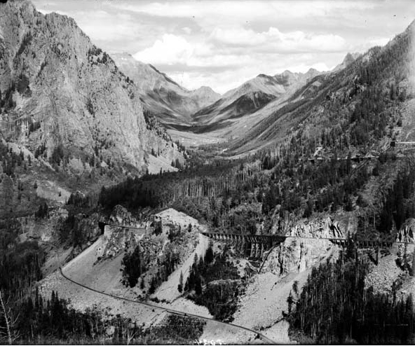
Here is the way it looked when it was still in use. This was taken down near the Ophir Loop and looks to the left in the photo above.
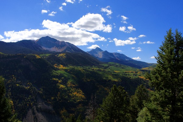
Looking over at the Lizard Head Wilderness Area, to the left of the shots above..
(1/500, f8, 21mm, ISO 125, -1 stop)
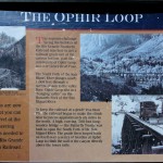
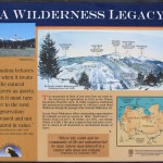
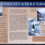
More information on the Ophir Loop, Lizard Head Wilderness and the the first commerical electrical generating plant in the US. The second was the Jacobson House in Telluride…it still gives Telluride 25% of it’s power!
(Click to enlarge; BACK to return!)
Ophhir Loop///Lizard Head Wilderness///The First Commercial Electricity
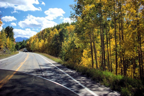
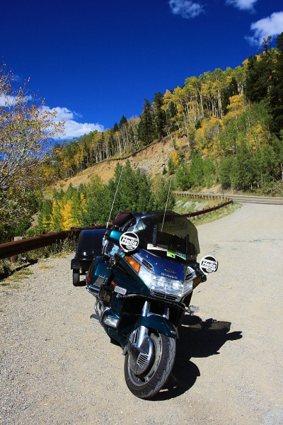
Back up the road.
(1/750, f8, 21mm, ISO 125, -1/2 stop)
~Curtis in Colorado! {!-{>
2 Comments